

LiDAR drone takes flight
03.05.2023
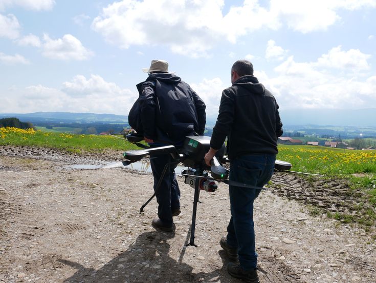
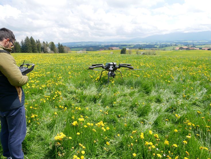
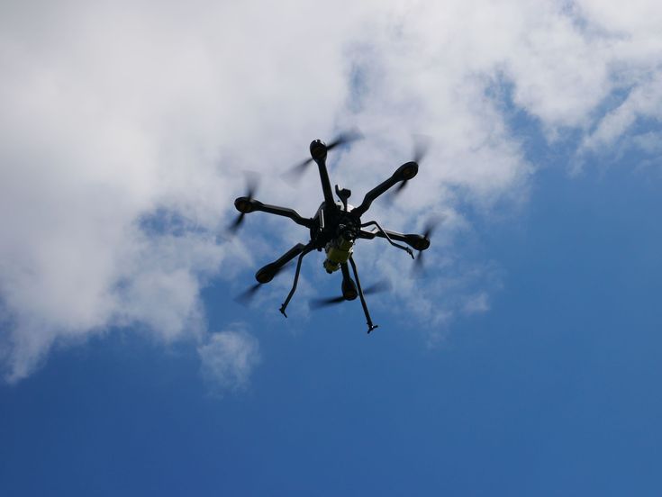
On Wednesday, 03.05.2023, another milestone in the development of the Institute for Digital Cultural Heritage Studies was reached: the first operational flight of our brand new LiDAR drone. This makes our institute one of the few European research institutions to field a drone with such capabilities.
The AceCore Noa is a hexacopter mostly made of carbon fiber, with a range of about 16 km and an endurance of up to 37 minutes. The institute's model is equipped with a RIEGL VUX-1 LiDAR scanner and a Sony Alpha 7R IV system camera with 61 megapixels. It was christened "Ludwig I" after the second Bavarian king, a great patron of the arts and admirer of Greek antiquity.
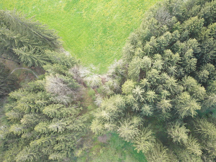
The drone was now used for the first time supporting the Bavarian State Office for Monument Protection (Bayerisches Landesamt für Denkmalpflege). In Bernbeuren in the Allgäu region, Prof. Nicola Lercari and Dr. Dario Calderone surveyed the local castle from the air. Today, nothing remains of the former medieval hilltop castle itself. However, the remains of the earthwork are still protected as an archaeological monument and were therefore documented in high resolution with LiDAR.
With the first field mission for Ludwig I being a great success, now the post-processing of the data and the refinement of the workflow for future missions will follow.